Walkers Hostel

Walkers Hostel

Walkers Hostel (Вила-Нова-де-Мильфонт,Португалия)

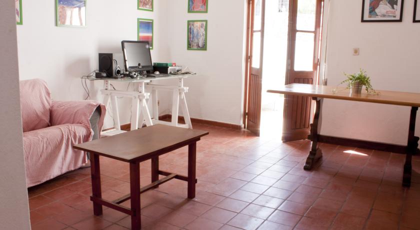
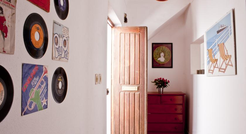
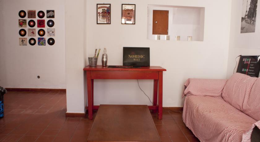
Категория отеля:
Адрес: Rua Brejo da Estrada, 86 , 7645-233 Вила-Нова-де-Мильфонт, Португалия
Описание: Walkers Hostel is located in Vila Nova de Milfontes just 1 km away from the beach by the Mira River mouth. Free WiFi access is available.Walkers Hostel offers an apartment and dormitories. The apartment includes 2 double bedrooms and 1 single bedroom. It has a private bathroom and a living room. The dormitories include bunk beds and access to shared bathroom facilities.Guests staying at the apartment have at their disposal their own fully equipped kitchen. In addition there is a shared kitchen and a shared lounge for guests staying in the dormitories. A terrace is also available where guests can enjoy their meals al fresco.Walkers Hostel is within 500 metres from the market, restaurants, bars and cafés. Guests can visit the other beaches of the Vicentine Coast including the Furnas Beach, across the Mira River just 4 km away, Porto Covo 15 km away and Zambujeira do Mar 20 km away. Lisbon International Airport is 187 km away.
Еда и питье:
На свежем воздухе: Сад, Терраса
Парковка: Общественная парковка на месте (предварительный заказ не требуется) предоставляется за дополнительную плату.
Услуги: Номера для некурящих, Семейные номера, Места для курения
Спорт и отдых:
Сервис: Общий лаунж/гостиная с телевизором
Интернет: Бесплатно! Wi-Fi предоставляется в общественных зонах бесплатно.
Языки общения: на португальском, на польском, на итальянском, на испанском, на английском
Время заезда/выезда: 15:00 - 23:00 / 07:00 - 12:00
Домашние животные: Размещение домашних животных не допускается.
Банковские карты:
Номерной фонд: Хостел: 4 номера
Координаты: ш. 37.730092730068286 д. -8.777735531330109 на карте
 

Каталог отелей.

Игры ⚽ Нужна курсовая?

Полезное


Смотреть что такое "Walkers Hostel" в других словарях:

  • Edale — infobox UK place country = England official name= Edale latitude= 53.366 longitude= 1.816 population = 316 (2001)cite web | url=http://neighbourhood.statistics.gov.uk/dissemination/LeadTableView.do?a=3 b=793399 c=Edale d=16 e=15 g=434882… …   Wikipedia

  • Pillar (Lake District) — Infobox Mountain Name = Pillar Photo = Pillar lake district.jpg Caption = Pillar (left), from the top of Steeple Elevation = 892 m (2927 ft) Location = Cumbria, ENG Range = Lake District, Western Fells Prominence = 348 m Parent peak = Great Gable …   Wikipedia

  • Glen Coe — Glencoe ( Gleann Comhann in Gaelic) is a glen in the Highlands of Scotland. It lies in the southern part of the Lochaber committee area of Highland Council, and was formerly part of the county of Argyll. It is often considered one of the most… …   Wikipedia

  • Ben Nevis — Infobox Mountain Name = Ben Nevis Photo = BenNevis2005.jpg Photo size = 300px Caption = Ben Nevis from Banavie. The summit is beyond and to the left of the apparent highest point. Location = Lochaber, flag|Scotland Elevation = convert|1344|m|ft|0 …   Wikipedia

  • Great Gable — from Wasdale. The cliff at centre is the Napes of Great Gable. Elevation 899 m (2,949 ft) …   Wikipedia

  • Letterboxing — is an outdoor hobby that combines elements of orienteering, art and puzzle solving. Letterboxers hide small, weatherproof boxes in publicly accessible places (like parks) and distribute clues to finding the box in printed catalogs, on one of… …   Wikipedia

  • Once Brewed — Coordinates: 55°00′04″N 2°23′06″W / 55.001°N 2.385°W / 55.001; 2.385 …   Wikipedia

  • Gruvekroa — (Folldal,Норвегия) Категория отеля: Адрес: Folldal Gruver, 2580 Folldal, Норвегия …   Каталог отелей

  • Snowdon — For other uses, see Snowdon (disambiguation). Snowdon (Yr Wyddfa) The Snowdon group seen from the east; left: Y Lliwedd; centre: Crib Goch; right: Yr Wyddfa and Garnedd Ugain …   Wikipedia

  • New Lanark — Coordinates: 55°40′N 3°47′W / 55.66°N 3.78°W / 55.66; 3.78 …   Wikipedia


Поделиться ссылкой на выделенное

Прямая ссылка:
Нажмите правой клавишей мыши и выберите «Копировать ссылку»